

Notice: Time - includes short stops at traffic lights, studying the map, etc.
| Day | 15. |
| Date | 6.10.2001 |
| Distance [miles] | 89.93 |
| Time | 6:20:58 |
| Average speed [miles/hour] | 13,8 |
| Total Distance [miles] | 600.8 |
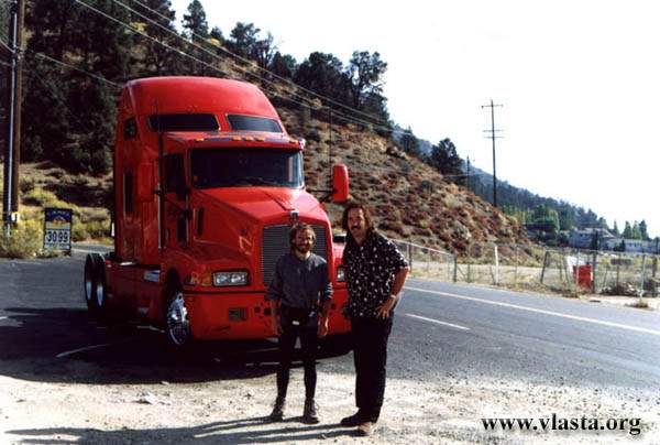
In the morning, after breakfast in a local restaurant, it was impossible to convince David that he had already done too much for me. He insisted on buying me a map, and I also had to accept a CD by The Cure and some other things..... Los Padres National Forest is a beautiful recreation area just north of L.A. I was at an elevation of 2,600 m, and heading towards the Pacific Coast, I had mostly downhill riding ahead of me. It was a sunny Saturday morning, and I passed dozens of cyclists. On Route 33, I had only one long climb, and despite my initial doubts, I was surprised by how easily I managed it. It was probably because the weather was much more pleasant than in the desert. The section between Ozena Station and Ojai follows a winding mountain road.
As usual, the wind was blowing against me. I took a break during the 20 km downhill ride just north of Ojai. I reached the Pacific coast in time to see a beautiful red sunset over the ocean. Unfortunately, I arrived too late to take a picture of the show. About 20 km east of Santa Barbara, there are several campgrounds along the coast. They are quite expensive. Seacliff Camp was full, but I found my Angel who saved me here. Stefanie Angel was kind enough to share her campsite with me.
| Day | 16. |
| Date | 7.10.2001 |
| Distance [miles] | 62.31 |
| Time | 5:11:03 |
| Average speed [miles/hour] | 12 |
| Total Distance [miles] | 663,1 |
The morning was quite foggy. Well, it looked as though alternating fog and sunshine would be my companion for the rest of the trip. This is typical weather along the coast, together with lower temperatures than in the interior just a few kilometres away. I decided to take Route 1 back to Palo Alto. At noon, I visited Santa Barbara and its university. I have to say that this is a very nice town. Only the ocean water was already quite cold.
A free brochure about the "Pacific Coast Bike Route" was available at the visitor centre. The brochure was not exactly perfect, but I found useful information about sections of Route 1 that were closed to cyclists, alternative roads around those sections, campgrounds, bike shops along the route, and more. In two or three hours, I planned to cook dinner at Gaviota State Beach. But I was surprised when the ranger at the entrance told me that a "walk-in & bike-in" campsite cost only $1 per night. Well, why not stay here for the night? For the whole next week, I looked specifically for campgrounds like this one. They were usually located in state parks and state beaches.
| Day | 17. |
| Date | 8.10.2001 |
| Distance [miles] | 73,53 |
| Time | 6:16:18 |
| Average speed [miles/hour] | 11,7 |
| Total Distance [miles] | 736,6 |
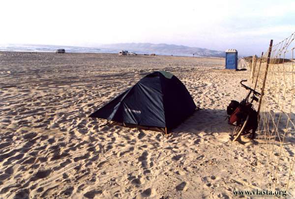
Back north!! I changed direction, and from now on I would be travelling mostly straight north. It was a cold, foggy morning, but I soon warmed up on a two-kilometre climb. The fog disappeared and the sun came out. The landscape changed, and I could see rolling grasslands. It took me two hours to pass Vandenberg Air Force Base. In this part of California, I was saddened by how often I saw animals that had been killed on the road. In the predominantly Mexican community of Guadalupe, I bought some cheaper food. This is an agricultural area. That night, I stayed at Oceano Dunes State Vehicular Recreation Area. This campground also cost me only one dollar. I had a great view of the Pacific. Unfortunately, the sunset was not as beautiful as the one a few days earlier. My tent was pitched on the sandy beach. The only thing I was missing was water. It is a recreation area where you can rent off-road vehicles for driving on the dunes.